While at first glance one could easily be forgiven for thinking “Killer Whale” and not a portmanteau of Orthographic Cartography, Orca is focused on navigating and monitoring the world’s waterways. The startup was co-founded in 2020 by Kristian Fallrø, Jorge Sevillano, and Amir Borovac, who set out to transform the world of marine navigation. The three co-founders brought together the worlds of hardware, software, and maps. Navigation technology had not changed much over the last few decades. A boat owner was likely to find the same navigation equipment on the market that their parents had used perhaps a generation ago. This led to the realisation that it was difficult for boaters to map their routes in the water, as technology had not kept pace with the smartphone and internet revolution. Erly Stage had the opportunity to catch up with Sevillano whilst he was in Madrid and find out more about how Orca is building a living, breathing map of the waterways.
Navigation technology had not changed much over the last few decades. A boat owner was likely to find the same navigation equipment on the market that their parents had used perhaps a generation ago.
Hailing from Spain, Sevillano has a background in electrical engineering and went on to work for HERE Technologies, which was acquired by Nokia in 2007, for 7 years. Although Sevillano enjoyed his time at Nokia, there was a lack of personal fulfillment as this wasn’t his dream. He then joined Navico, one of the largest marine electronics companies, where he crossed paths with Fallrø , who was working as a Software Engineer at the company. Sevillano, as Head of Mobile, was working to create the best marine ecosystem experience for boaters. During his time at Navico, Sevillano developed deep insight into chart plotting, an electronic navigation system that helps boaters monitor their movements in relation to the water body that surrounds them. This enabled him to understand the limitations of chart plotting, as boaters were stuck using old, clunky devices that have limited connectivity in the water and did not deliver a great user experience. Most boaters would make do with installing an app onto their phones. This brings with it a different set of problems, as although mobile devices have better connectivity, they are not suited for the environment in which boaters need to navigate. Boaters face the risk of their mobiles getting wet and in many instances, the brightness on the devices is not suitable whilst in the ocean. A solution arose with the idea to combine marine devices and mobile devices, taking the benefits of each and creating a new product – the Marine Co-Pilot – specifically for the marine navigation market.

Source: Provided by Orca Team
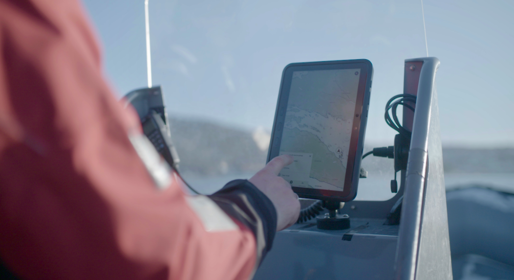
The team’s concept was successful enough to attract investors such as fellow entrepreneur and Kahoot! Founder, Johan Brand. Brand was convinced of the potential of the product when he went to buy a new boat and when choosing a navigation device, was faced with the same devices he had relied on for 30 years. This clearly signaled a lack of innovation in the market which Orca was quick to spot and the company raised up to 220,000 euros from angel investors including Brand. Orca is a distributed team between Norway and Spain. Orca’s marine co-pilot collects data and builds a map of the water, which includes positioning and depth, to aid boaters and provide better navigation to take them from Point A to Point B, highlighting obstructions like other vessels in the water and weather conditions that can impact a boaters journey. The company also differentiates its product offering by separating its product into two devices; a tablet-like device and the Orca Core which is connected to the boat’s network and collects network data. The end goal for Orca is to capture data, which can be done either by selling devices or by speaking to electric boat companies, who have to communicate with their users and lack the means to do that. This is where Orca’s software solution will be able to help. Orca’s open architecture collects data on the water and develops a real-time map of the journey, the same way as Waze or Google Maps does. However, an issue with the latter is that Maps will own your data.

Source: Provided by Orca team
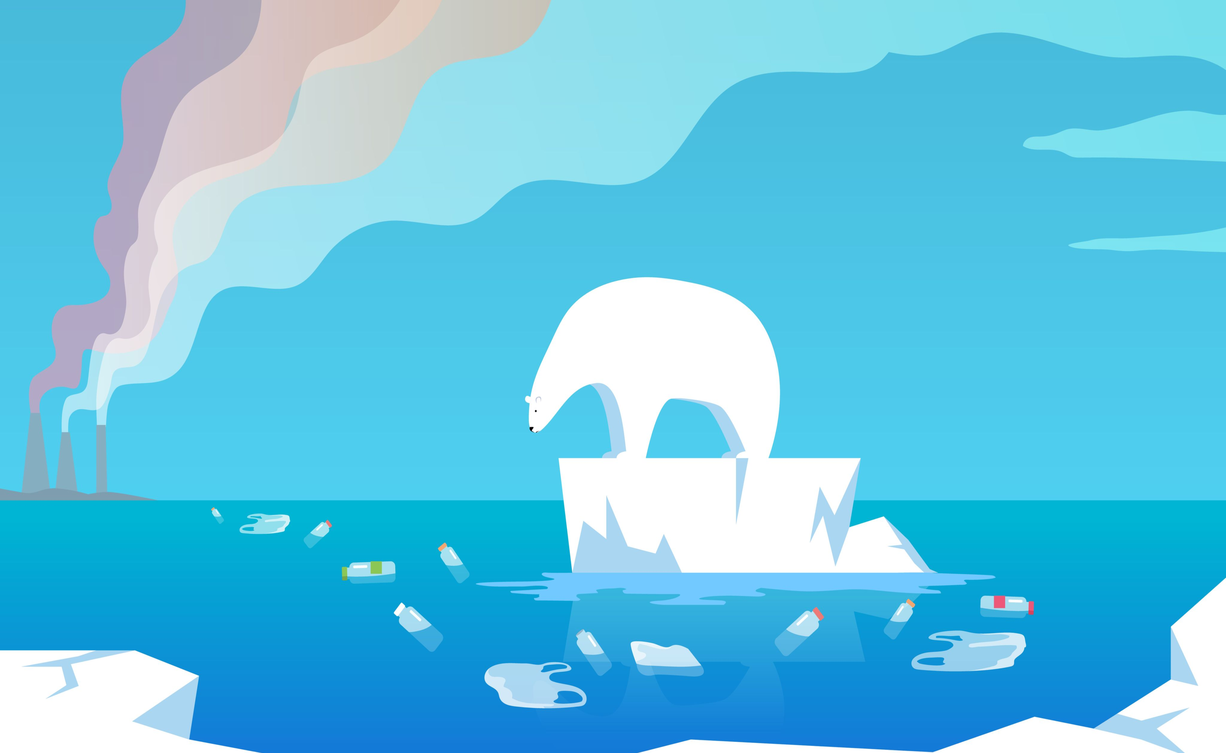
The founders’ vision for the future is to develop Orca’s ability to capture oxygen levels, pollution and test the health of the water, which can go a long way to improve the environment and protect marine life. Furthermore, the value of data collection being used to assess the current state of the water can create tremendous impact and help environmentalists, as protection of our water bodies is key in making our planet livable for future generations. This is undoubtedly a challenge but Orca is well on its way. The trio currently plan to build the team and expand firstly within Europe, particularly Oslo and Madrid, where the co-founders are based, then conquer the Middle East and Asia and then eventually North America. Orca recently closed a funding round with Norwegian venture capital, Skyfall Ventures, which gives them the capital they need to build the first part of their product. This is due to be released in April of this year and be marketed in Europe. There is great potential for Orca and we can see it developing to become more than the ‘Waze’ of the water, which was acquired by Google for over $1bn.
Mapping the ocean and understanding how we can better navigate and protect our water bodies is an important issue that Orca is contributing to, through their innovative products. Can we envisage the concept of mapping to find out more about the health of our planet also being applied to the sky soon? Regardless of this, we see great plans for Orca’s future as they expand into uncharted waters.